


GIS Software
Development Services
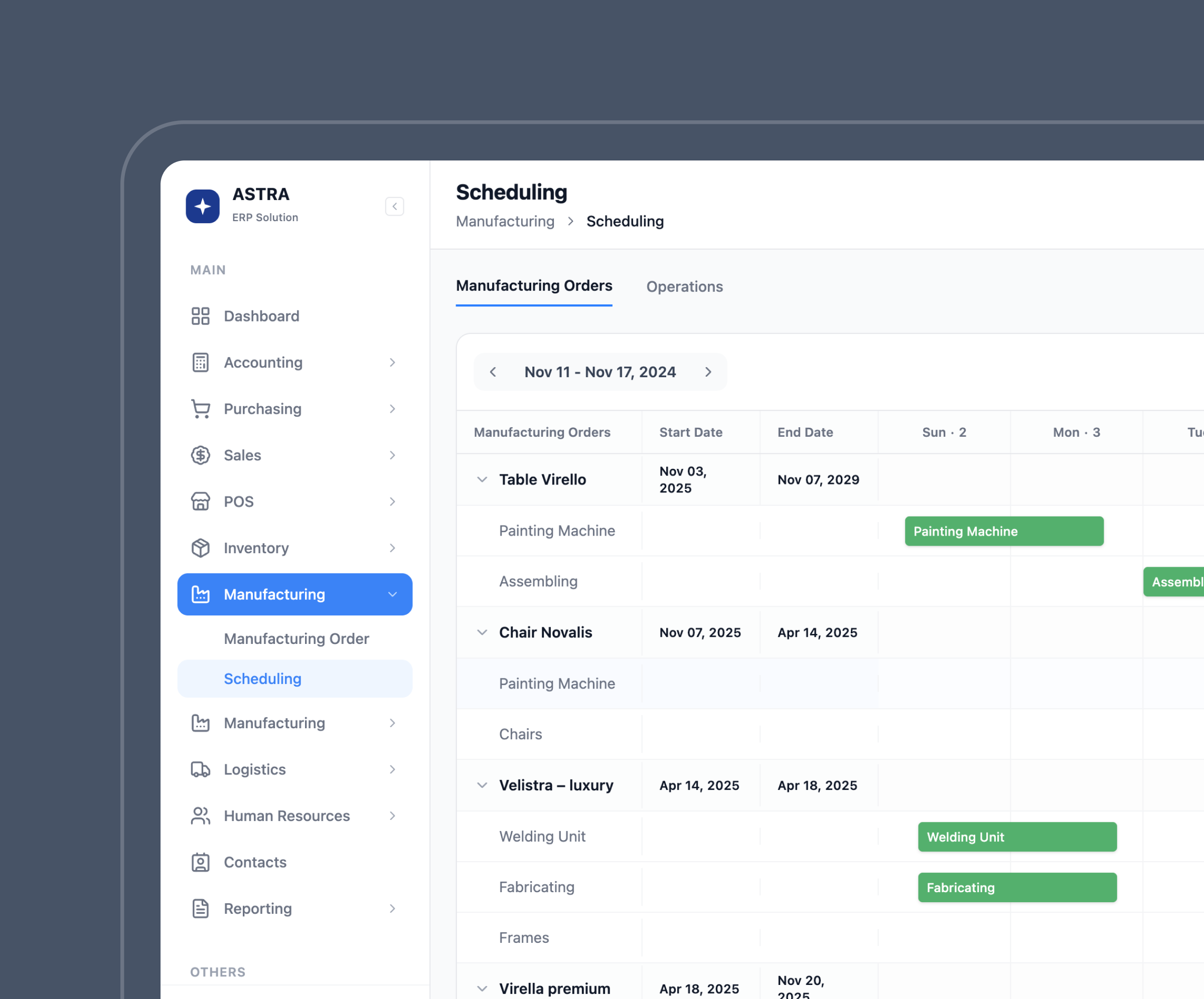
GIS Software Development
Services We Offer
Our Awards and Recognitions


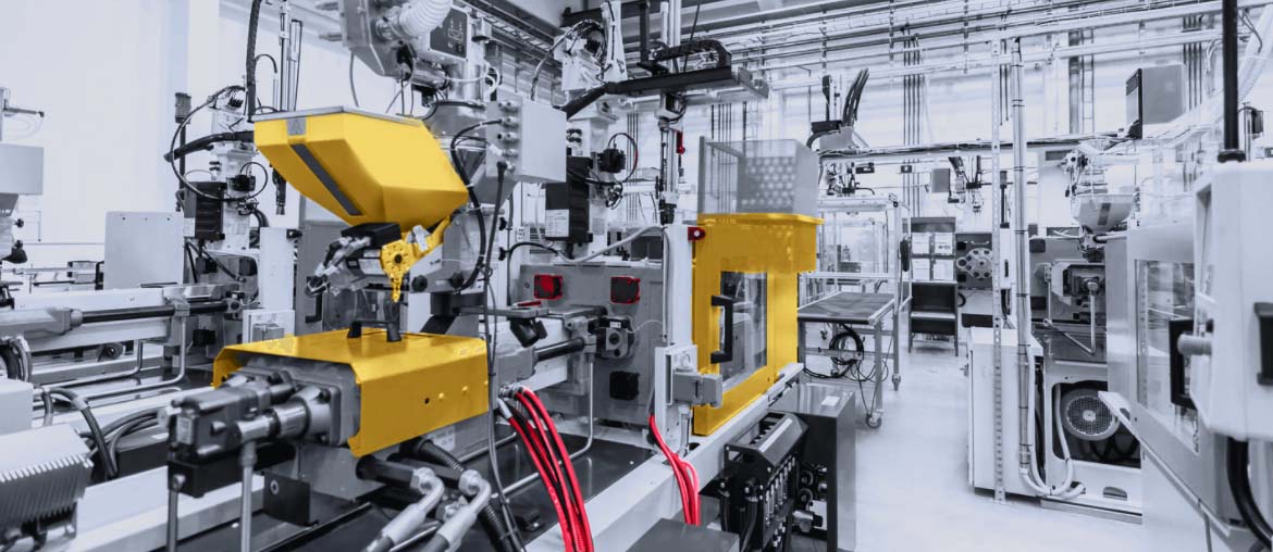
Custom GIS Software Development
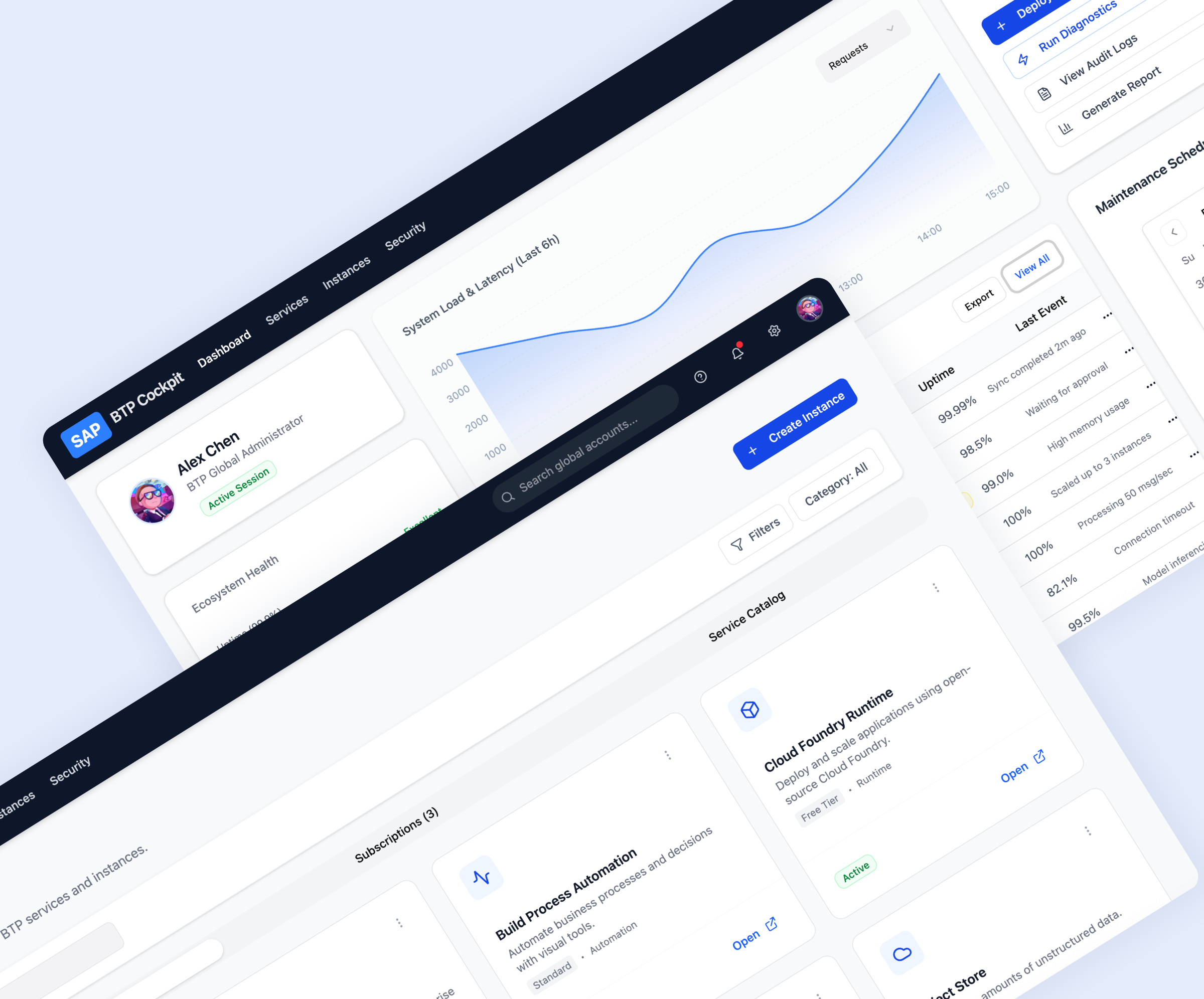
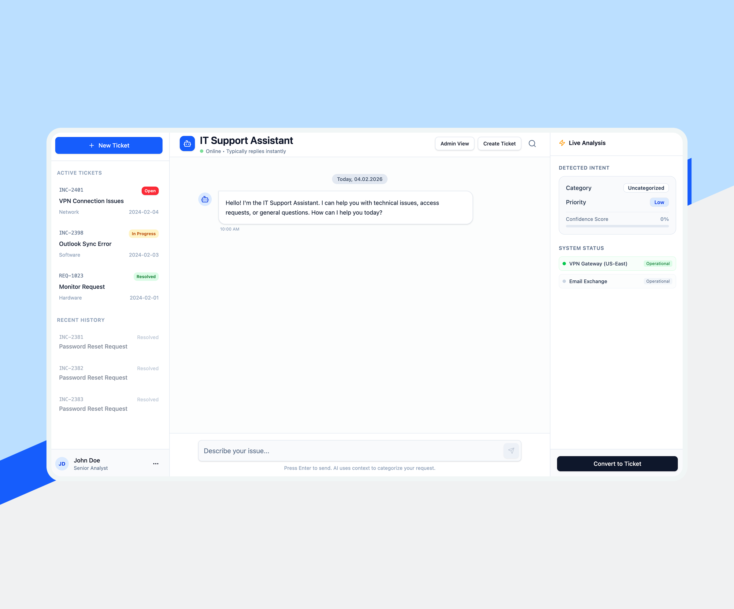
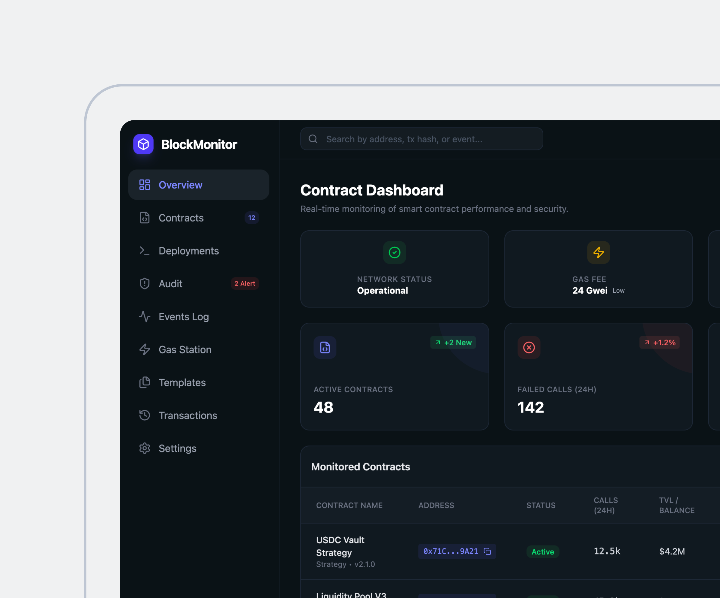
Solutions by Elinext

AI & ML Solutions
We integrate AI and machine learning into GIS platforms to automate pattern detection, predict spatial trends, and enhance decision-making. These tools enabl

Blockchain Solutions
We are a GIS software development company that leverages blockchain in GIS to ensure secure, transparent, and tamper-proof geospatial data exchange. Ideal for land registries, logistics, and resource tracking, blockchain adds trust to every transaction.

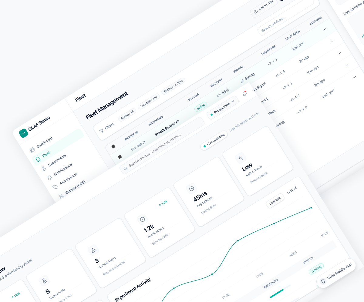
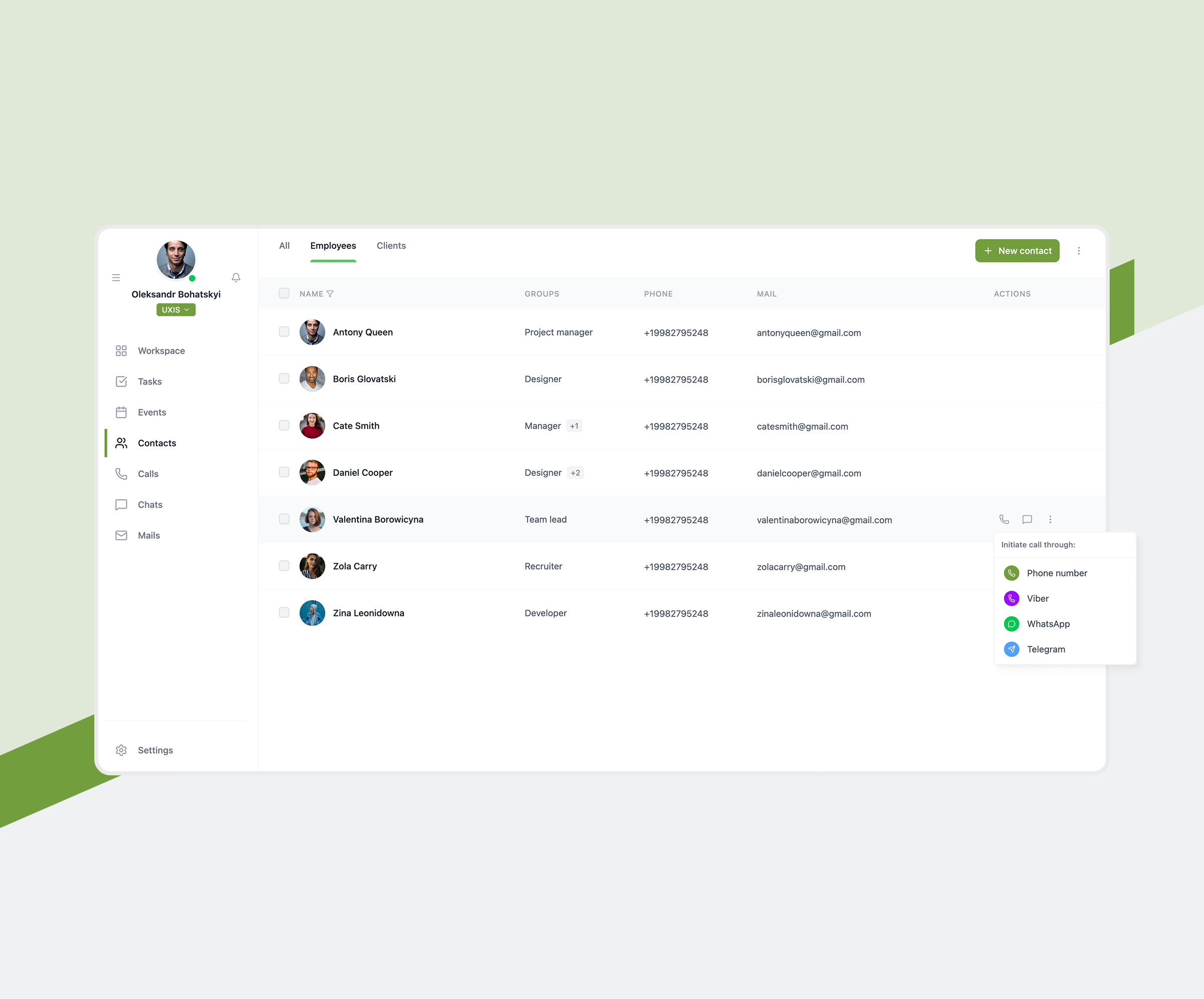
Data-Related Solutions
We offer advanced solutions for managing, cleansing, and structuring large volumes of spatial data. Our systems support real-time updates, efficient querying, and reliable storage of georeferenced datasets.

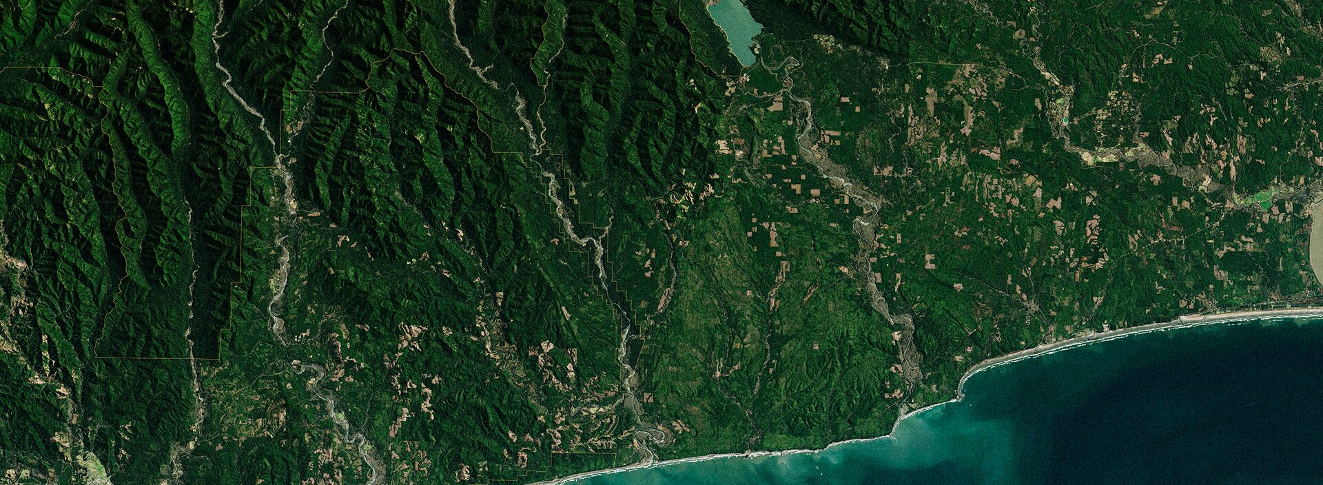
Geospatial Analysis Solutions
GIS application development services allow us to deliver tools for spatial analytics that uncover relationships, patterns, and trends in location-based data. These solutions help businesses optimize resources, assess risks, and drive location intelligence.

3D Visualization Solutions
Our 3D GIS applications provide interactive terrain modeling, urban planning simulations, and infrastructure visualization. They help users better understand spatial data through immersive and intuitive visual interfaces.

AR & VR Solutions
We develop augmented and virtual reality GIS experiences for real estate, urban planning, and field operations. These solutions enable immersive spatial exploration and improve user engagement with geospatial content.
-

AI & ML Solutions
We integrate AI and machine learning into GIS platforms to automate pattern detection, predict spatial trends, and enhance decision-making. These tools enabl
-
Blockchain Solutions
We are a GIS software development company that leverages blockchain in GIS to ensure secure, transparent, and tamper-proof geospatial data exchange. Ideal for land registries, logistics, and resource tracking, blockchain adds trust to every transaction.
-
Data-Related Solutions
We offer advanced solutions for managing, cleansing, and structuring large volumes of spatial data. Our systems support real-time updates, efficient querying, and reliable storage of georeferenced datasets.
-
Geospatial Analysis Solutions
GIS application development services allow us to deliver tools for spatial analytics that uncover relationships, patterns, and trends in location-based data. These solutions help businesses optimize resources, assess risks, and drive location intelligence.
-
3D Visualization Solutions
Our 3D GIS applications provide interactive terrain modeling, urban planning simulations, and infrastructure visualization. They help users better understand spatial data through immersive and intuitive visual interfaces.
-
AR & VR Solutions
We develop augmented and virtual reality GIS experiences for real estate, urban planning, and field operations. These solutions enable immersive spatial exploration and improve user engagement with geospatial content.


Unlock the Value of Geospatial Intelligence!
Types of GIS Software Solutions We Develop
What Our Experts SayWhat Our Experts Say


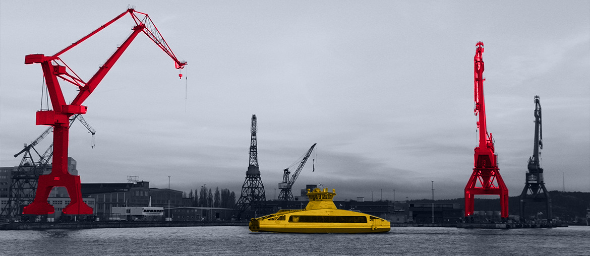
Who We Serve
Elinext provides GIS software solutions tailored to the needs of specific industries, helping organizations use geospatial data to streamline operations, make informed decisions, and solve real-world challenges with precision and clarity.


Elinext provides GIS software solutions tailored to the needs of specific industries, helping organizations use geospatial data to streamline operations, make informed decisions, and solve real-world challenges with precision and clarity.
…
The Benefits of GIS Software Development
Solutions by Elinext

Choose your
Service Option
Leverage GIS software development Expertise
Hire dedicated GIS software developers
Let us handle your GIS software development project
Hire GIS Software Developers
from Elinext


Why Elinext?
Listen to Our Clients


Looking for Related Services?
FAQ
-
GIS software development involves creating applications and tools that capture, store, analyze, and visualize geographic and spatial data. These solutions help businesses make location-based decisions, optimize operations, and gain spatial insights.
-
Yes, Elinext specializes in integrating GIS solutions with existing enterprise systems such as ERP, CRM, or asset management platforms. This ensures seamless data exchange and enhances the value of your existing IT ecosystem.
-
The development timeline depends on the project’s complexity and feature set. Basic GIS apps can take 2–3 months, while more advanced systems with real-time analytics and integrations may require 4–6 months or more.
-
Absolutely. We implement strong data protection measures, including encryption, role-based access control, and secure APIs, ensuring your geospatial and business data remains safe and compliant with security standards.

GIS Software Development
ArticlesGIS Software Development
Articles
Articles
Articles


